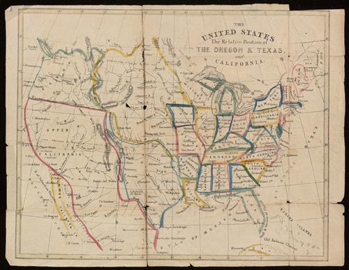
The United States, the relative position of Oregon & Texas and California.
- Published/Created:
- [London?] :
[publisher not identified],
[1848?] - Copyright Date:
- [London?] : [publisher not identified] :
- Physical Description:
- 1 map : hand colored ; 22 x 26 cm
- Notes:
- Imperfect: torn, with no loss of text.
Relief shown by hachures. - Variant Titles:
- United States, the relative position of Oregon and Texas and California
- Topics:
- United States--Maps
- Language:
- English
- Scale:
- Scale approximately 1:19,000,000
- Coordinates:
- a
19000000
-124.966667
-065.000000
055.000000
020.000000
(W 124°58ʹ00ʺ--W 65°00ʹ00ʺ/N 55°00ʹ00ʺ--N 20°00ʹ00ʺ). - Genre:
- Maps
- Format:
- Map
- Content Type:
- Maps, Atlases & Globes
- Rights:
- The use of this image may be subject to the copyright law of the United States (Title 17, United States Code) or to site license or other rights management terms and conditions. The person using the image is liable for any infringement.
- Access Restrictions:
- Public
- Call Number:
- BrSides 2019 7
- Orbis Record:
- 12991726
- Yale Collection:
- Beinecke Library
- Digital Collection:
- General Collection, BRBL, Yale University
- oid pointer:
- 16682312
- Extent of digitization:
- Complete work digitized.
- OID:
- 16682137
- PID:
- digcoll:4653690