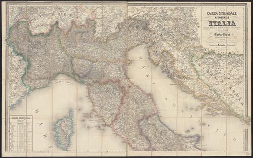
Carta stradale e postale dell'Italia / Carlo Cerri.
- Published/Created:
- Vienna :
Artaria,
1859 - Physical Description:
- 1 map : col. ; 96 x 112 cm.
- Topics:
- Italy--Maps
- Language:
- Italian
- Scale:
- Scale 1:864,000.
- Coordinates:
- 864000
a - Genre:
- Maps
- Format:
- Map
- Content Type:
- Maps, Atlases & Globes
- Rights:
- The use of this image may be subject to the copyright law of the United States (Title 17, United States Code) or to site license or other rights management terms and conditions. The person using the image is liable for any infringement
- Access Restrictions:
- Public
- Call Number:
- 40 1859A
- Folder:
- BRBL_00201
- Orbis Record:
- 10576356
- Yale Collection:
- Beinecke Library
- Digital Collection:
- General Collection, BRBL, Yale University
- oid pointer:
- 15489914
- Extent of digitization:
- Complete work digitized.
- OID:
- 15489791
- PID:
- digcoll:4382622