Guerrero / Secretaría de Agricultura y Fomento, Dirección de Estudios Geográficos y Climatológicos.
- Creator:
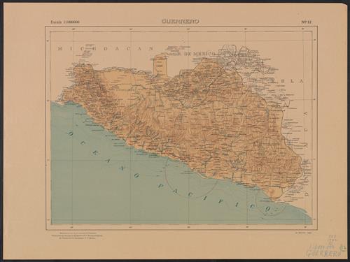
- Mexico. Dirección de Estudios Geográficos y Climatológicos
- Edition:
- 2a. edición, 1922.
- Published/Created:
- Tacubaya, D.F. México :
La Dirección,
[1922] - Physical Description:
- 1 map on 2 sheets : col. ; 36 x 48 cm.
- Notes:
- Accompanied by physiographic plate covering same area, showing only relief and drainage (1 sheet : col. ; 47 cm.).
Appears in Atlas geográfico de la República Mexicana.
Relief shown by shading. Depths shown by isolines. - Topics:
- Guerrero (Mexico : State)--Maps
- Topics:
- Mexico. Dirección de Estudios Geográficos y Climatológicos. Atlas geográfico de la República Mexicana
- Language:
- Spanish; Castilian
- Scale:
- Scale 1:1,000,000
- Coordinates:
- a
1000000
W1022500
W0980000
N0190000
N0160000
(W 102⁰25'--W 98⁰00'/N 19⁰00'--N 16⁰00'). - Genre:
- Maps
- Format:
- Map
- Content Type:
- Maps, Atlases & Globes
- Rights:
- The use of this image may be subject to the copyright law of the United States (Title 17, United States Code) or to site license or other rights management terms and conditions. The person using the image is liable for any infringement
- Access Restrictions:
- Public
- Call Number:
- 888 1922
- Folder:
- BRBL_00655
- Orbis Record:
- 4923712
- Yale Collection:
- Beinecke Library
- Digital Collection:
- General Collection, BRBL, Yale University
- oid pointer:
- 15823410
- Volume/Enumeration:
- Sheets 1-2
- Extent of digitization:
- Complete work digitized.
- OID:
- 15822402
- PID:
- digcoll:4381831