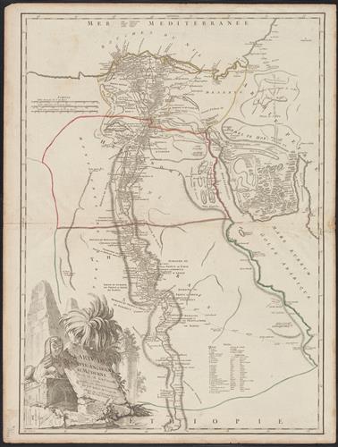
Carte de l'Egypte ancienne et moderne : dressée sur celle du R.P. Sicard, et autres assujetties aux observations astronomique / par le Sr. Robert de Vaugondy ; Haussard [engraver].
- Creator:
- Robert de Vaugondy, Gilles, 1688-1766, cartographer
- Physical Description:
- 1 map : hand colored ; 63 x 45 cm, on sheet 67 x 51 cm
- Notes:
- Appeared in the Gilles and Didier Robert de Vaugondy's Atlas universel.
Borders are hand colored.
Printed number on verso: 106.
Relief shown by hachures.
Watermark. - Topics:
- Egypt--Historical geography--Maps--Early works to 1800
Egypt--Maps--Early works to 1800 - Topics:
- Robert de Vaugondy, Didier, 1723-1786. Atlas universel
Robert de Vaugondy, Gilles, 1688-1766. Atlas universel - Language:
- French
- Scale:
- Scale approximately. 1:1,650,000]
- Coordinates:
- (E 28°01ʹ--E 35°41ʹ/N 32°20ʹ--N 23°00ʹ).
023.000000
028.016667
032.333333
035.683333
1700000
a - Genre:
- Maps
- Format:
- Map
- Content Type:
- Maps, Atlases & Globes
- Rights:
- The use of this image may be subject to the copyright law of the United States (Title 17, United States Code) or to site license or other rights management terms and conditions. The person using the image is liable for any infringement
- Access Restrictions:
- Public
- Call Number:
- 61 1799A
- Folder:
- BRBL_00330
- Orbis Record:
- 12367066
- Yale Collection:
- Beinecke Library
- Digital Collection:
- General Collection, BRBL, Yale University
- oid pointer:
- 15533744
- Extent of digitization:
- Complete work digitized.
- OID:
- 15532681
- PID:
- digcoll:4380767