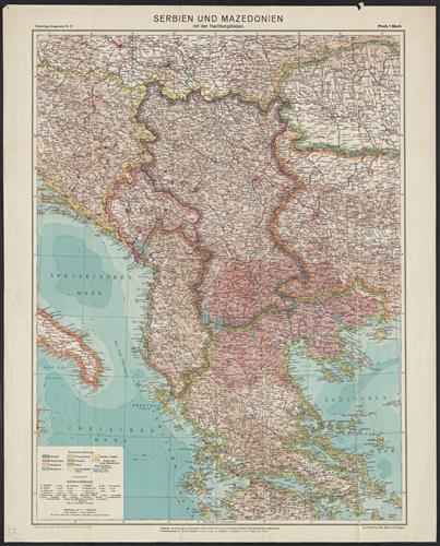
Flemmings Kriegskarte. Nr. 27 : Serbien und Mazedonien mit den Nachargebieten / Bearb. von A. Bludau, O. Herkt und Prof. Dr. J. I. Kettler.
- Published/Created:
- Berlin ;
Glogau :
Carl Flemming AG.,
[1917]. - Physical Description:
- 1 map : col. ; 81 x 62 cm.
- Topics:
- Balkan Peninsula--Maps
- Language:
- German
- Scale:
- Scale 1:1,100,000.
- Coordinates:
- 1100000
a - Genre:
- Maps
- Format:
- Map
- Content Type:
- Maps, Atlases & Globes
- Rights:
- The use of this image may be subject to the copyright law of the United States (Title 17, United States Code) or to site license or other rights management terms and conditions. The person using the image is liable for any infringement
- Access Restrictions:
- Public
- Call Number:
- 44 1917
- Folder:
- BRBL_00256
- Orbis Record:
- 11022806
- Yale Collection:
- Beinecke Library
- Digital Collection:
- General Collection, BRBL, Yale University
- oid pointer:
- 15498894
- Extent of digitization:
- Complete work digitized.
- OID:
- 15498763
- PID:
- digcoll:4375098