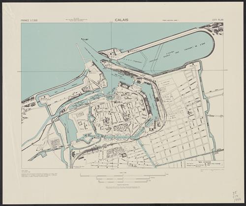
Calais city plan [cartographic material] / prepared under the direction of the Chief of Engineers, U.S. Army.
- Creator:
- United States. Army Map Service
- Edition:
- 1st ed.-AMS 1.
- Published/Created:
- Washington,
1943 - Physical Description:
- 1 map : col. ; 37 x 52 cm.
- Notes:
- "Copied from I.S.I.S. report 1:6,600, Calais, CB 1804 no. 7, 1939 and Calais guide, 1:12,000, J. Peumery, City plan of Calais."
At head of title: France.
Most streets and some buildings are named. - Variant Titles:
- A.M.S. ; M961
Series (Standard map series designation system) ; M961. - Topics:
- Calais (France)--Maps
- Language:
- English
- Scale:
- Scale 1:7,500.
- Coordinates:
- 7500
a - Genre:
- Maps
- Format:
- Map
- Content Type:
- Maps, Atlases & Globes
- Rights:
- The use of this image may be subject to the copyright law of the United States (Title 17, United States Code) or to site license or other rights management terms and conditions. The person using the image is liable for any infringement
- Access Restrictions:
- Public
- Call Number:
- 38 C12 1943
- Folder:
- BRBL_00156
- Orbis Record:
- 10531329
- Yale Collection:
- Beinecke Library
- Digital Collection:
- General Collection, BRBL, Yale University
- oid pointer:
- 15485371
- Extent of digitization:
- Complete work digitized.
- OID:
- 15484350
- PID:
- digcoll:4374434