San Miguel island / drawn by the War Office.
- Creator:
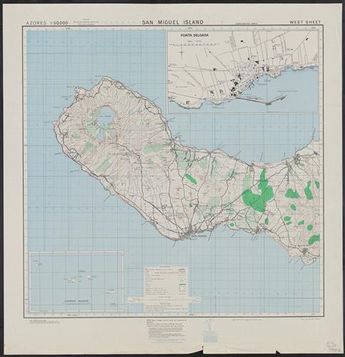
- Great Britain. War Office. General Staff. Geographical Section
- Edition:
- 3d ed.
- Published/Created:
- Washington :
Army Map Service, U. S. Army,
1943-44. - Physical Description:
- 2 col. maps.
70 x 71 cm. - Notes:
- "Contours at 25 metres interval."
East sheet, 1943.
Five classes of roads or paths are shown.
In upper margin: Azores 1:50,000 ...
Index map cataloged with G. S. G. S. 4122, G9132.S2 1942.G7a.
Insets: Azores islands.--Ponta Delgada [on West
Military grid. - Variant Titles:
- [Series] M789
A.M.S. M789
G.S.G.S. ; no. 4124
GSGS (Series) ; 4124. - Topics:
- São Miguel Island (Azores)--Maps, Topographic
- Language:
- English
- Scale:
- Scale 1:50,000.
- Genre:
- Maps
- Format:
- Map
- Content Type:
- Maps, Atlases & Globes
- Rights:
- The use of this image may be subject to the copyright law of the United States (Title 17, United States Code) or to site license or other rights management terms and conditions. The person using the image is liable for any infringement
- Access Restrictions:
- Public
- Call Number:
- 212 Sa58 1944
- Folder:
- BRBL_00014
- Orbis Record:
- 6748794
- Yale Collection:
- Beinecke Library
- Digital Collection:
- General Collection, BRBL, Yale University
- oid pointer:
- 15471831
- Extent of digitization:
- Complete work digitized.
- OID:
- 15249357
- PID:
- digcoll:4374015