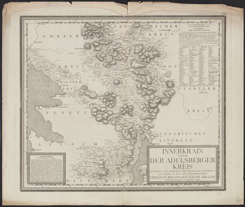
Innerkrain oder der Adelsberger Kreis / entworfen und gezeichnet von Joseph Karl Kindermann ; gestochen zu Wien von Christoph Junker.
- Published/Created:
- Grætz :
Verlegt bey Franz Xaver Miller,
1795 - Physical Description:
- 1 map ; 49 x 57 cm.
- Notes:
- Shows area north-east of Trieste.
Table of text and data. - Variant Titles:
- Adelsberger Kreis
- Topics:
- Austria--Maps--Early works to 1800
Hungary--Maps--Early works to 1800 - Language:
- German
- Scale:
- Scale [ca. 1:250,000].
- Coordinates:
- 250000
a - Genre:
- Maps
- Format:
- Map
- Content Type:
- Maps, Atlases & Globes
- Rights:
- The use of this image may be subject to the copyright law of the United States (Title 17, United States Code) or to site license or other rights management terms and conditions. The person using the image is liable for any infringement
- Access Restrictions:
- Public
- Call Number:
- 41 AD34 1795
- Folder:
- BRBL_00242
- Orbis Record:
- 8207767
- Yale Collection:
- Beinecke Library
Sterling Memorial Library - Digital Collection:
- General Collection, BRBL, Yale University
- oid pointer:
- 15498650
- Extent of digitization:
- Complete work digitized.
- OID:
- 15497790
- PID:
- digcoll:4373695