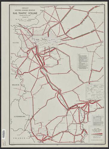
Germany western border regions : rail traffic volume (excluding inter Ruhr traffic) summer 1939.
- Creator:
- United States. Office of Strategic Services. Research and Analysis Branch
- Edition:
- Provisional ed.
- Published/Created:
- Washington :
[Office of Strategic Services],
1945 - Physical Description:
- 1 map : col. ; 70 x 52 cm.
- Notes:
- "No. 6307-R & A, OSS; 17 1945 April"
Includes insets with location and various data. - Topics:
- Railroads--Germany (West)--Traffic--Maps
- Language:
- English
- Scale:
- Scale: 1:530,000.
- Coordinates:
- 530000
a - Genre:
- Maps
- Format:
- Map
- Content Type:
- Maps, Atlases & Globes
- Rights:
- The use of this image may be subject to the copyright law of the United States (Title 17, United States Code) or to site license or other rights management terms and conditions. The person using the image is liable for any infringement
- Access Restrictions:
- Public
- Call Number:
- 36gme 1945
- Folder:
- BRBL_00132
- Orbis Record:
- 6124764
- Yale Collection:
- Beinecke Library
- Digital Collection:
- General Collection, BRBL, Yale University
- oid pointer:
- 15479997
- Extent of digitization:
- Complete work digitized.
- OID:
- 15479694
- PID:
- digcoll:4094263