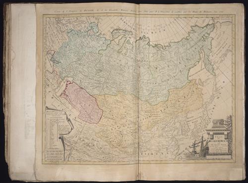
Charte das Russische Reich, und die von den Tatarn bewohnte Laender in Europa und Asien enthaltend [cartographic material] / entworfen von F.L. Guessefeld = Carte de l'Empire de Russie et de la Grande Tatarie / dressee avec soin par F.L. Guessefeld
- Creator:
- Gussefeld, F. L. (Franz Ludwig), 1744-1807
Homann Erben (Firm) - Published/Created:
- Nuernberg
Bey den Homaennischen Erben
1786 - Physical Description:
- 1 map
color illustration
43.9 x 57.7 cm. - Variant Titles:
- Carte de l’Empire de Russie et de la Grande Tatarie
- Topics:
- Russia --Maps --Early works to 1800
- Language:
- French
German - Genre:
- Engravings
Hand coloring
Maps
Maps in books - Format:
- Map
- Rights:
- The use of this image may be subject to the copyright law of the United States (Title 17, United States Code) or to site license or other rights management terms and conditions. The person using the image is liable for any infringement.
- Access Restrictions:
- Public
- Source Creator:
- Homann Erben (Firm)
- Source Title:
- [Atlas factice of 50 maps, primarily by Johann Baptist Homann and/or issued by the Homann Erben firm]
- Source Created:
- [Nuremberg : Homann Erben, 1710-1786]
- Call Number:
- 1983 Folio 23
- Orbis Record:
- 9118431
- Yale Collection:
- Beinecke Library
- Digital Collection:
- General Collection, BRBL, Yale University
- oid pointer:
- 1342491
- Extent of digitization:
- Complete work digitized.
- OID:
- 2065591
- PID:
- digcoll:3594631